File:Argeas map.png
From The Mana World
Size of this preview: 764 × 600 pixels. Other resolution: 1,200 × 942 pixels.
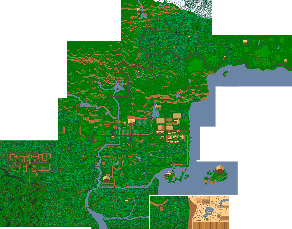
Original file (1,200 × 942 pixels, file size: 1.47 MB, MIME type: image/png)
Map of Hurnscald done by merging minimaps.
File history
Click on a date/time to view the file as it appeared at that time.
| Date/Time | Thumbnail | Dimensions | User | Comment | |
|---|---|---|---|---|---|
| current | 15:18, 13 April 2015 | | 1,200 × 942 (1.47 MB) | Bock (talk | contribs) | New map |
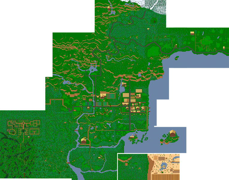
| 14:14, 22 February 2014 | 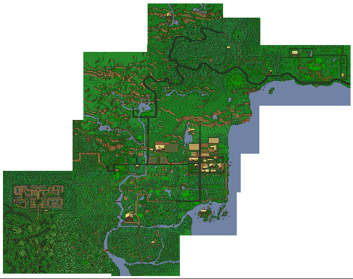 | 720 × 570 (352 KB) | Jmf (talk | contribs) | ||
| 14:42, 16 July 2012 | 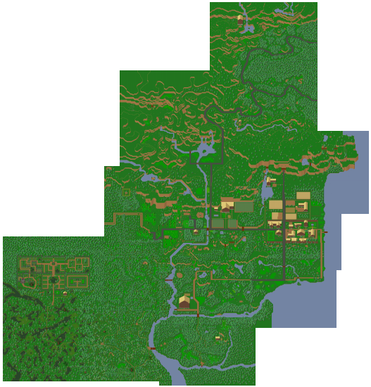 | 527 × 550 (377 KB) | Rafalcieslak (talk | contribs) | Map of Hurnscald done by merging minimaps. |
File usage
The following 9 pages use this file: